Vera Patterson · 5 November 2026
Orbital Observations Track Central Asian Steppe Dunefield Growth and Its Effects on Water and Herding
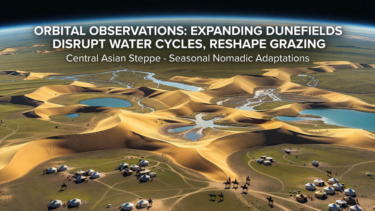
Orbital sensors have documented steady expansion of dunefields across the Central Asian steppes, where wind-driven sand now covers former grasslands at rates that alter surface hydrology and force adjustments in traditional migration routes, and researchers analyzing multi-year Landsat and Sentinel datasets note how these changes compound during dry seasons when vegetation cover drops below critical thresholds. Data from repeated passes over Kazakhstan, Mongolia, and northern China show dune crests advancing several meters annually in some basins, which reduces soil moisture retention and shifts the timing of spring snowmelt infiltration into aquifers that feed seasonal streams.
Satellite Evidence of Dune Expansion
Analyses released in November 2026 from the European Space Agency's Sentinel-2 constellation highlight accelerated boundary shifts in the Kyzylkum and Gobi margins, where bare sand areas increased by measurable percentages between 2018 and 2025, while vegetation indices declined in adjacent zones that herding communities rely on for summer pastures. These orbital records integrate thermal and multispectral bands to map evapotranspiration drops that follow dune encroachment, revealing how sand surfaces heat faster than grass-covered ground and accelerate local water loss through increased evaporation.
Impacts on Regional Water Cycles
Expanding dunefields modify runoff patterns by creating barriers that redirect seasonal flows away from established channels, and hydrological models calibrated with satellite altimetry indicate reduced recharge to shallow aquifers because sand layers trap less precipitation than the mixed soils they replace. In the western steppes, observers tracking river discharge note earlier peak flows followed by quicker recession, which shortens the window when herders can access reliable watering points during autumn migrations. Studies using gravity recovery data from the GRACE-FO mission further show declining terrestrial water storage in dune-adjacent basins, linking the surface changes directly to subsurface drying that affects both domestic wells and natural springs.
Reshaping Seasonal Grazing Patterns
Nomadic groups in the affected zones have adapted routes to avoid newly formed sand corridors that bury former grass patches, and satellite-derived land cover maps reveal how herders now concentrate livestock in remnant steppe pockets farther from traditional winter camps. In Mongolia's southern provinces, movement records compiled by local monitoring programs show extended travel distances between spring and summer pastures, increasing energy demands on animals already stressed by variable forage availability. Orbital imagery also captures the formation of linear dune features along old migration trails, which fragment continuous grazing land and push communities toward higher elevation slopes where sand accumulation remains slower.
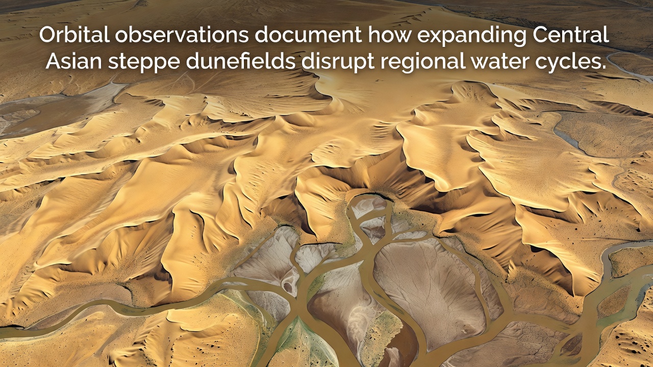
Ground validation teams confirm that these spatial shifts align with orbital detections, documenting cases where previously reliable water holes now lie behind advancing dune fronts that block access during key months. The resulting pattern concentrates grazing pressure on fewer intact grassland patches, accelerating localized degradation that in turn feeds back into further dune stabilization and expansion.
Integrated Observations and Future Monitoring
Combined datasets from NASA and international partners allow continuous tracking of both hydrological variables and land-use changes, and time-series comparisons demonstrate clear correlations between dune area growth and altered precipitation infiltration rates across multiple watersheds. In November 2026 updates, analysts noted that certain basins experienced measurable declines in surface water persistence that coincide with documented route changes among mobile herding households. These findings rely on cross-referenced optical, radar, and gravity measurements that together provide a comprehensive view of how surface processes interact with subsurface water movement.
Regional agencies continue to incorporate orbital products into early-warning systems that flag areas where dune advance may soon intersect critical grazing corridors, and the approach supports planning for alternative water access points that account for shifting hydrology. Evidence from repeated satellite surveys shows that stabilization efforts in select pilot zones have slowed boundary movement, yet broader expansion continues where vegetation recovery lags behind sand advance rates.
Conclusion
Orbital records establish direct connections between Central Asian dunefield growth, modified water cycling, and adjustments in nomadic herding calendars, supplying quantitative baselines that inform ongoing environmental management across the steppe region. Continued satellite coverage will track whether these trends accelerate or stabilize under varying climate conditions, while ground observations refine the models that translate imagery into actionable information for communities dependent on seasonal mobility.