Ben Frank · 21 October 2026
Hydrological Surveys Uncover How Dune Migration Influences Aquifer Recharge in Desert Basins
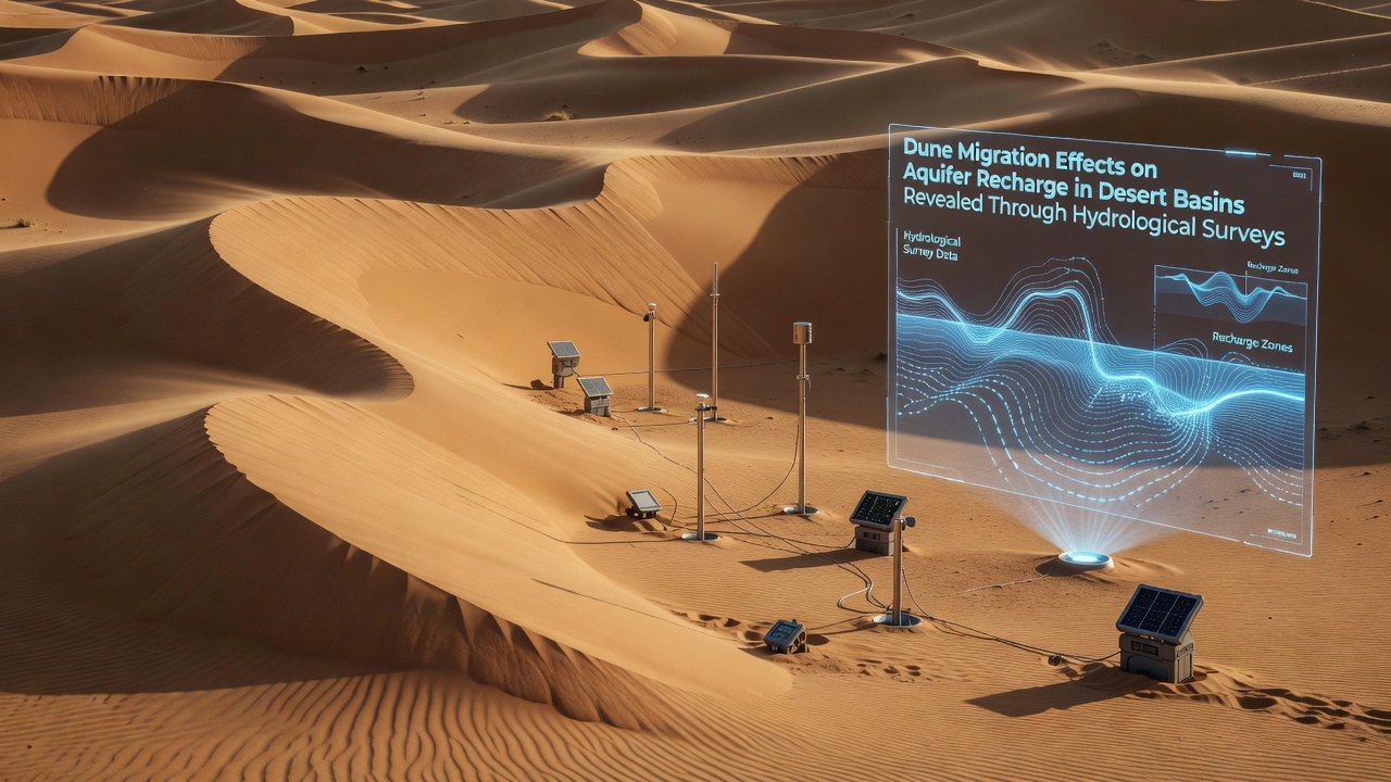
Desert basins worldwide host complex interactions between shifting sand dunes and underlying groundwater systems, and hydrological surveys continue to map these dynamics with increasing precision. Researchers deploy ground-penetrating radar, piezometer networks, and isotopic sampling to track how dune movement alters surface permeability and subsurface flow paths, while data collected through October 2026 from multiple arid regions shows consistent patterns of reduced or redirected recharge where dunes advance over former infiltration zones.
Survey Methods and Regional Coverage
Teams from government agencies and academic institutions combine remote sensing with field measurements to quantify dune displacement rates and correlate them with changes in aquifer levels, and the United States Geological Survey maintains long-term monitoring sites in the southwestern deserts where annual dune migration averages several meters per year. These efforts reveal that coarse sand layers left behind by migrating dunes can either enhance or impede vertical water movement depending on grain size distribution and underlying sediment compaction, whereas finer materials often create temporary seals that divert runoff toward basin margins.
Similar programs operate in Australian interior basins where Geoscience Australia coordinates with state water authorities, and surveys there document how longitudinal dunes shift across paleochannels that once served as primary recharge conduits. Observers note that seasonal wind regimes accelerate migration during drier months, which compresses the window for episodic rainfall to penetrate before new sand blankets the surface again.
Key Findings on Recharge Alteration
Hydrological data indicate that dune migration frequently buries high-permeability zones, forcing water to travel laterally before infiltrating deeper strata, and this process can lower net recharge volumes by 15 to 30 percent in heavily affected basins according to integrated modeling outputs. At the same time, the leading edges of advancing dunes sometimes expose older, more porous layers that temporarily boost infiltration until the dune body passes over them again.
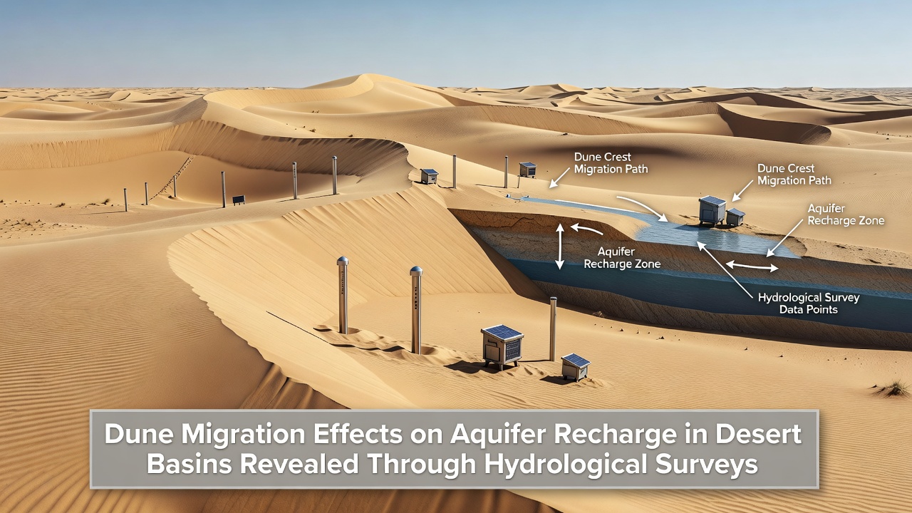
Isotope tracing studies further demonstrate that water reaching aquifers beneath active dunefields often carries signatures of longer residence times, suggesting delayed recharge pathways, while basins with stabilized dunes show more direct connections between precipitation events and groundwater response. Researchers have mapped these contrasts across multiple sites, confirming that migration distance and frequency directly influence the spatial distribution of recharge hotspots.
Implications for Basin Management
Water resource planners incorporate survey results into allocation models because altered recharge patterns affect long-term aquifer sustainability in regions already experiencing variable precipitation, and several desert municipalities now adjust extraction permits based on updated infiltration estimates derived from dune monitoring. Continued data collection through 2026 and beyond will refine these models as migration rates respond to changing wind patterns and vegetation cover.
Cross-border collaborations between North American and Middle Eastern research groups have begun sharing standardized survey protocols, which allows comparison of dune-aquifer interactions under differing climatic gradients and sediment compositions. These exchanges highlight that management strategies effective in one basin may require adjustment when applied elsewhere due to variations in dune morphology and underlying geology.
Conclusion
Hydrological surveys provide the empirical foundation for understanding how dune migration reshapes aquifer recharge across desert basins, and ongoing measurements through October 2026 continue to refine predictions about future water availability in these arid environments. The integration of field data with remote sensing offers a clearer picture of subsurface responses that support informed resource decisions without reliance on generalized assumptions.