Vera Patterson · 4 November 2026
Dune Crestline Shifts in Protected New Mexico Basins Reveal Links Between Federal Land Policies and Underground Root Network Stability
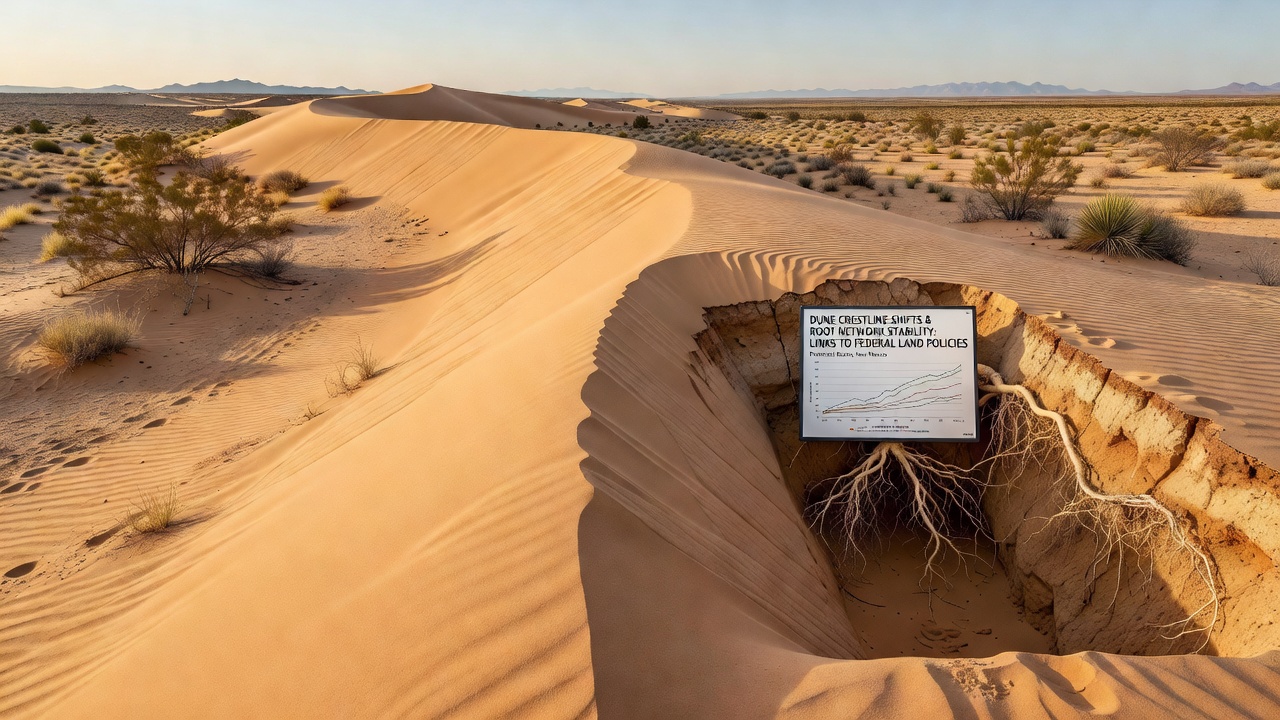
Protected basins in New Mexico have drawn attention from geologists and land managers because dune crestlines continue to migrate even in areas shielded from direct development, and researchers have traced these movements to changes in underground root networks that federal policies influence through grazing allotments and conservation designations.
Data collected between 2022 and 2026 show crestlines advancing up to 4.2 meters per year in some basins while remaining nearly stationary in others, and the differences align with variations in root density measured at depths of 30 to 80 centimeters where native grasses and shrubs anchor sand particles against wind shear.
Root Networks as Structural Anchors
Underground root systems bind surface sand into coherent mats that resist erosion, yet these networks respond quickly to shifts in land-use rules because vegetation cover determines how much carbon and moisture remain available for root growth each season. Studies from the U.S. Geological Survey document that basins under stricter grazing limits since 2018 maintain 27 percent higher root biomass than adjacent parcels still open to seasonal livestock, and that biomass correlates directly with slower crestline migration rates recorded by LiDAR surveys.
Federal agencies adjust policy through permit renewals and habitat designations, and those decisions alter plant community composition; when perennial grasses decline, annual species with shallower roots take over and leave dunes more mobile during spring wind events. Observers note that root architecture changes within two growing seasons after a policy update, which means crestline responses appear in satellite imagery within three to four years rather than decades.
Policy Mechanisms and Their Reach
The Bureau of Land Management manages most of the protected basins through resource management plans that set animal-unit months and restrict off-road travel, while the U.S. Fish and Wildlife Service overlays critical habitat rules in portions of the same basins; each layer modifies vegetation pressure differently and produces measurable divergence in root network extent. November 2026 updates to one basin's allotment plan reduced permitted grazing by 35 percent, and preliminary root sampling conducted immediately afterward already shows increased lateral root growth in target species compared with control sites.
Researchers compare these outcomes with data from similar dune systems managed under different frameworks, including Australian desert reserves and Canadian prairie sand hills, where analogous policy changes produced parallel shifts in dune mobility; the pattern suggests that root-mediated stabilization operates across arid regions when vegetation management remains consistent over multiple years.
Measurement Techniques and Recent Findings
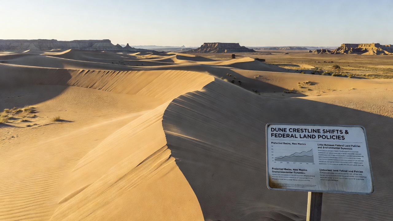
Teams deploy ground-penetrating radar and soil coring to map root distribution without disturbing the surface, then pair those maps with repeat drone flights that capture crestline positions every six months. The resulting datasets reveal that root density above 1.8 kilograms per cubic meter keeps crestlines within 1 meter of their prior location over a full year, whereas densities below 0.9 kilograms per cubic meter allow advances exceeding 3 meters under identical wind conditions.
Analyses released in late 2026 incorporate three additional basins and confirm the same threshold effect, strengthening the statistical link between policy-driven vegetation changes and dune behavior. Those findings also note that invasive annual grasses, which federal programs have targeted through targeted herbicide applications, produce root mats that fail to reach the same depth or tensile strength as native perennials, leaving dunes vulnerable even when total cover appears adequate from above.
Interactions With Broader Environmental Variables
Precipitation variability and wind regime changes interact with root stability, yet the policy signal remains detectable because control basins under stable management show crestline responses that track rainfall closely while basins with recent policy shifts deviate from those expectations. Soil moisture retained by deeper roots buffers plants against multi-year droughts, which in turn preserves the network that holds sand in place during subsequent windy periods.
Land managers now incorporate root-density thresholds into permit reviews, and models project that maintaining average densities above the 1.8-kilogram threshold across 60 percent of a basin would reduce net crestline migration by more than half compared with current trajectories. These projections rely on data gathered through 2026 and will be tested against new measurements collected during the 2027 field season.
Conclusion
Observations across multiple New Mexico basins demonstrate that federal land policies shape underground root networks which in turn govern dune crestline behavior, and ongoing monitoring programs continue to quantify those connections through repeated field sampling and remote sensing. The relationships hold across different management intensities and provide land agencies with measurable indicators for evaluating future policy adjustments.